
價格:免費
更新日期:2019-02-28
檔案大小:566.7 MB
目前版本:1.4
版本需求:需要 iOS 11.1 或以上版本。與 iPad 相容。
支援語言:英語

Site Scan – Esri edition is a mobile app that makes it easy to collect accurate, high-resolution maps and models for Esri ArcGIS® users by using drones. Built with LAANC authorization, Site Scan automatically calculates and executes flight plans, allows you to download photos from your flights, and integrates seamlessly with ArcGIS®, letting you use your favorite maps as base layers.
Compatibility:
- Requires Esri® & Drone2Map® log in credentials/subscription
- Requires compatible hardware: 3DR Site Scan drone, DJI Phantom 4 Pro, DJI M200, DJI M210, DJI Inspire 2, DJI Mavic Pro, or Yuneec H520-G.

Key features:
- Simple and intuitive flight planning
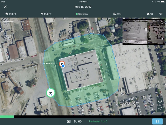
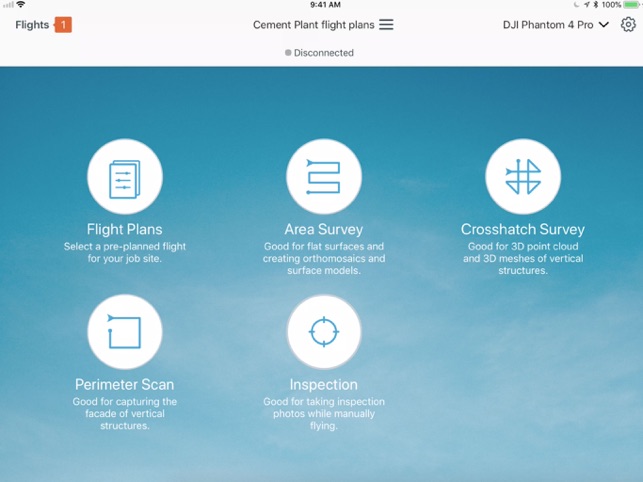
- 4 autonomous flight modes designed for optimal data capture
- Video flight modes
- Collision avoidance
- Automated pre-flight safety checks
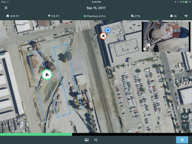
- Understand the details of your flight before taking off, including area size, approximate resolution, and the number of photos to be taken
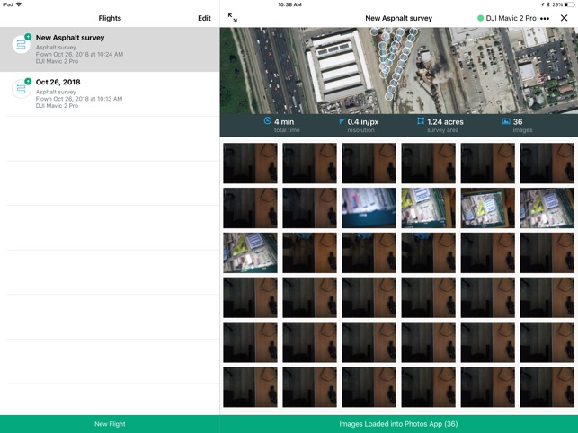
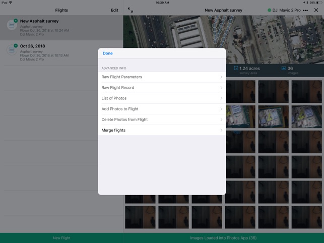
- Transfer image data from the camera to your iPad
- Generate high accuracy maps and models
支援平台:iPad